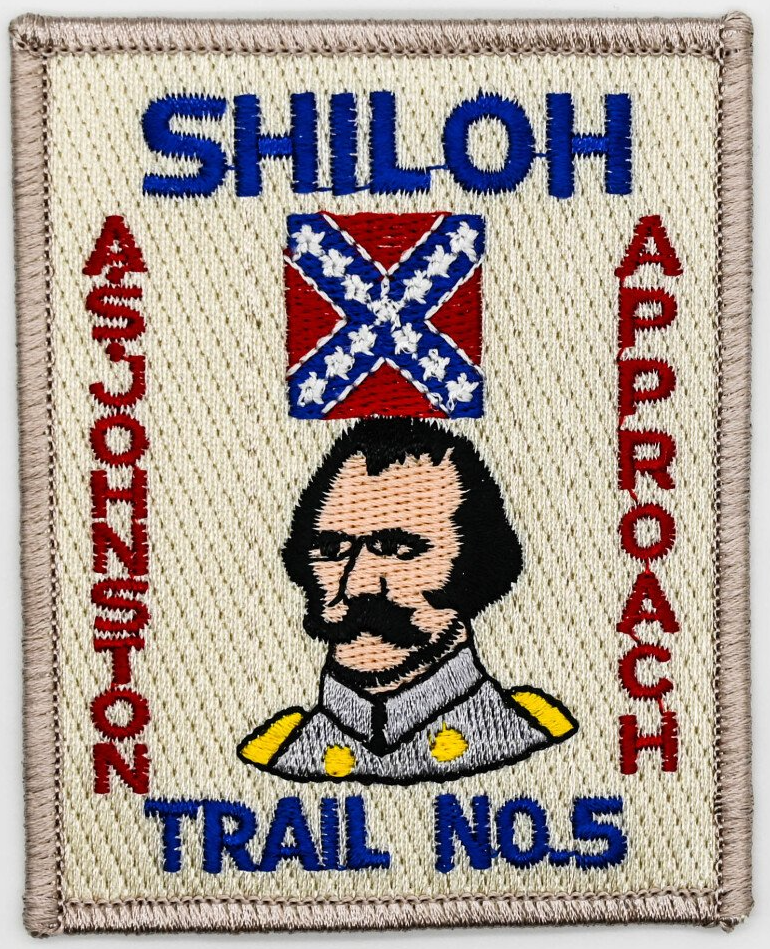
CONFEDERATE ARMY APPROACH TRAIL 5
Before taking the Shiloh Military Trail Hike # 5 along the route from Corinth to Shiloh, the hiker should have previously completed the four different specified hikes through the Park. This is not a requirement but a recommendation.
HISTORY
The hiker on the Shiloh Military Trail Hike #5 will follow the general route of General A.S. Johnston's Confederate Army marching to the Battle of Shiloh. This Army left Corinth, Miss, on April 2, 1862 and marched for 3 days, much of it through the mud in wet rainy weather to reach the area in the vicinity of the present intersection of Tenn. State Highway #22 and #142 on Saturday evening, April, 1862. Here they bivouacked the night before the Battle of Shiloh opened in Fraley Field early Sunday morning, April 6. Johnston's army consisted of Gen. Braxton Bragg's 1st Corps, Gen. Leonidas Polk's 2nd Corps, Gen. Wm. J. Hardee's 3rd Corps and Gen. J.C. Breckinridge's Reserve Corps.
REQUIREMENTS
1. The SMT Hike #5 hiker must complete the following requirements:
2. Walk the entire 20 mile trail on foot observing all rules of hike safety, etc., en route.
3. Write answers on the credentials card to all questions asked about the historical markers and monuments along the way.
4. Read the book "Shiloh" by Shelby Foote and submit, in your own words, a 300-word report on this historical novel. There are seven chapters in this book. Your report should contain at least one paragraph about each chapter. This should preferably be don BEFORE making the Hike.
5. Submit the completed Credential Card, book report and remittance for the award to the Shiloh Military Trail Committee.
ROUTE
The route of this hike is indicated on the map for Trail #5. The Shiloh Hike #5 begins at the Miss - Tenn. State Line, approximately 5 miles from the city limits of Corinth, Ms., on Ms. State Highway #2 (this becomes TN. #22 at the State line). The trail is approximately 20 miles in length and ends at the Park Visitors' Center where you are to check in with the Ranger on duty. YOU MUST HAVE A COMPASS TO MAKE THIS HIKE.
RULES TO BE OBSERVED WHILE TAKING HIKE #5.
1. Do not give any appearance of "hitch - hiking" and do not accept any rides offered
2. Be sure to walk single file on the shoulder of the road on your left facing traffic. See Boy Scout Handbook or read the Hiking Merit Badge Booklet for rules about safe hiking.
3. The hike should be made in daylight hours. If any hiking is done before or after daylight, a flashlight must be carried and used.
4. Be courteous and be a credit to the high ideals of Scouting. Do not deface property, do no throw rocks, and do not throw paper and trash along the way.
5. A sacked lunch, canteen, compass and pencil are necessary - carry them. Refreshments may be purchased in stores along the hike route.
ALL SHILOH MILITARY TRAIL HIKES ARE APPROVED BY B.S.A. NATIONAL CAMPING SERVICE.
REQUIREMENTS FOR AWARDS:
- Read (or listen attentively to it being read) the story which accompanies the hike directions. It is recommended that this be read aloud by a leader to a hiking group before, then again as the hike is made.
- Take the self-guided automobile tour of the battlefield as per the National Parks Service map and brochure given out in the Visitor Center.
- Take the entire hike exactly as specified.
- Each hiker fills out his own Credential Card as he makes the hikes. Each is to write answers to questions asked on the Trek Instruction Sheet.
- Visit the Shiloh National Military Park Visitor Center and Museum and while these see the movie "Shiloh - Portrait Of A Battle".
- Abide by all rules of the Shiloh Military Trail Committee and the National Parks Service at Shiloh National Military Park.
A. All hikers must be under the supervision of a responsible adult leader at all times while in Shiloh National Military Park. Scout groups should wear uniforms.
B. Hike Safely, be especially careful when hiking along or crossing roads.
C. Do not leave any litter along the way. Be a good example for other park visitors. It is recommended that hikers do a good turn by picking up any litter observed on the route and placing it in trash cans located throughout the park.
D. Be courteous, orderly, and most cooperative when visiting indoor areas such as the Visitors Center, Ed Shaw's Restaurants, the Park Book Store, ETC.
AWARDS:
Upon successfully completing the requirements for the Shiloh Military Trail Compass Hike you are entitled to purchase if you wish an attractive Compass Trail Patch. This patch is fully embroidered in four colors. Small pins also available.
CONFEDERATE ARMY APPROACH TRAIL 5 Hiking Instructions
Start
START SMT HIKE #5 at Tenn. - Miss. State line (Ms side of line) on Miss. Highway # 2, which becomes Tennessee Highway # 22.
At this point you have a choice of two routes to reach the next objective.
USE YOUR COMPASS:
First choice: Go 357 degrees down the hill, cross Dill Creek, go up the hill on; the opposite side (still on 358 degrees) to locate the red rectangular plaque for Chalmers' Brigade (#30 on your map).
DO NOT ATTEMPT THIS ROUTE ACROSS DILL CREEK IF THE WATER IS UP.
After finding #30 plaque, follow "back azimuths" of the directions given below in Second choice and in question #30.
Now go the Park Visitors' Center. If you have not turned in your 300-word book report on Shelby Foote's interesting historical novel, do so promptly.